
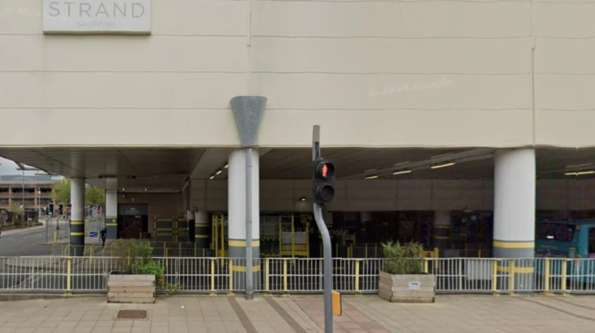
The Bootle Strand is a major regional shopping complex located in the town of Bootle, Merseyside, within the Metropolitan Borough of Sefton. Originally built during the late 1960s urban renewal era, this commercial hub serves as the primary retail and social anchor for the local south Sefton community. It houses a wide selection of national high-street retail brands, essential service providers, local independent businesses, and community outreach spaces.
Spanning multiple levels, the facility combines enclosed indoor shopping arcades with pedestrian access routes connected to regional transit systems. Navigating the destination effectively requires an understanding of its layout, transportation connections, parking facilities, and ongoing municipal development initiatives.
The venue operates as a central point for everyday retail, administrative access, and community gatherings. It sits adjacent to the Leeds and Liverpool Canal, positioning it at the geographical core of Bootle. Visitors travel to the location from across Merseyside to access value retail, municipal support services, and banking institutions.
Understanding what to expect before visiting ensures a seamless journey whether traveling by train, bus, car, or on foot. The facility continues to adapt to modern town centre standards through structured regeneration phases.
What Is the History and Purpose of Bootle Strand?
The Bootle Strand was established in 1968 to modernize retail infrastructure in south Sefton. It serves as a central commercial hub, unifying shopping, social support, and transit connections within a single multi-level complex to drive local economic activity.
The development of the facility began in the mid-1960s as part of a post-war masterplan designed to rebuild Bootle town centre. Opened officially in 1968, the complex represented a shift toward American-style enclosed shopping centers, replacing older, street-level retail strips damaged during World War II.
During the 1970s and 1980s, the venue attracted prominent department stores, supermarket chains, and high-street fashion brands. This retail concentration established the area as one of Merseyside’s primary shopping destinations outside central Liverpool.
In 1998, the facility underwent a major expansion that added a substantial extension, increasing total retail space to over 400,000 square feet. This expansion introduced modern multi-storey parking facilities, improved indoor pedestrian walkways, and expanded space for large retail tenants.
Sefton Council purchased the complex in 2017 for 32.5 million pounds to secure public control over the town centre’s future. Municipal ownership shifted the purpose of the site from purely commercial profit toward broad regeneration, public space integration, and community service provision.
What Stores and Facilities Can Visitors Expect Inside?
Visitors can expect a mixture of national value retailers, financial services, healthcare centers, and local independent shops. The complex includes indoor amenities, public restrooms, customer support desks, and direct access points to adjacent municipal and community services.
The retail layout offers essential everyday items through major supermarket brands, bargain department stores, and pharmacy chains. Popular high-street names provide clothing, homeware, hardware, and electronics to daily shoppers.
Independent local traders operate alongside national chains, offering specialized goods, cobbler services, key cutting, and personal care services. These small businesses occupy ground-floor retail units and dedicated kiosk spaces along the main walkways.
Financial facilities within the center include major retail bank branches, building societies, and multiple automated teller machines distributed across both floors. Visitors can access postal services, bill payment points, and currency exchange providers inside the main concourse.
Community health and civic service resources occupy dedicated spaces throughout the building. The facility features health clinic drop-in centers, advice venues, job search centers, and public library access points.
Food and beverage options range from traditional cafes and bakery chains to quick-service takeaway outlets. Seating areas allow visitors to rest, while public facilities include accessible toilets, baby changing units, and customer information points.
How Do You Get to Bootle Strand by Public Transport?
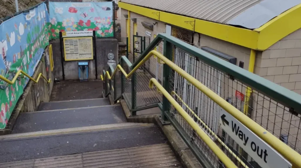
The complex is accessible via the adjacent Bootle New Strand railway station and the Bootle bus station. Frequent Merseyrail train services and regional bus routes link the venue directly to central Liverpool, Northern Sefton, and Knowsley.
Rail passengers can access the site directly via Bootle New Strand railway station, located on the Northern Line of the Merseyrail network. Trains run every 15 minutes during peak weekday hours between Liverpool Central and Southport.
The walking route from the train station platform to the main entrance of the shopping center takes less than 2 minutes via a fully paved, step-free pedestrian walkway. Fully accessible ramps and lifts support travelers with mobility equipment or strollers.
The integrated Bootle bus station sits adjacent to the facility on Washington Parade. Major regional bus operators, including Arriva North West and Stagecoach, run regular services stopping directly at this transit interchange.
Key bus connections include route 47 between Liverpool and Southport, route 60 connecting to Aigburth, and route 81 linking to Liverpool John Lennon Airport. Real-time departure boards and sheltered waiting bays assist passengers at the terminal.
Pedestrians traveling from nearby residential neighborhoods can enter through multiple street-level access points on Stanley Road, Washington Parade, and Vermont Way. Pedestrian crossings with signal controls line all surrounding arterial roads.
What Are the Driving Directions and Parking Options?
Drivers can reach the venue via the A565 road, which connects directly to the A5036 and the M57 motorway. The site features a multi-storey car park accessible from Vermont Way, offering designated accessible and family spaces.

Vehicles traveling from the south or Liverpool city centre should follow the A565 northbound along Derby Road, turning right onto Miller’s Bridge or Berry Street to connect with Stanley Road. Signage clearly guides drivers toward the main vehicle entry points.
Drivers coming from the north, such as Crosby or Southport, should travel south along the A565 Rimrose Road or A5038 Stanley Road. From the east, traffic using the M57 or M58 motorways can take the A5036 Dunnings Bridge Road before turning south onto Stanley Road.
The primary multi-storey car park is located on Vermont Way (postcode L20 4XZ). This dedicated parking structure provides over 800 vehicle spaces across multiple covered tiers with direct bridge access into the upper shopping level.
Designated parking spaces for disabled badge holders sit close to the main entrance doors on each parking tier. Reserved bays for parents with young children provide wider access spaces for loading prams and car seats.
Parking charges operate on a pay-and-display or pay-on-foot ticketing system with hourly rate tiers. Short-stay parking options accommodate quick errands, while long-stay flat rates support full-day visitors working or shopping in the town centre.
What Regeneration Plans Are Transforming the Complex?
Sefton Council is executing a regeneration project backed by 20 million pounds in government funding. The transformation involves partial demolition of outdated structures to create open public squares, community hubs, and canalside event spaces.
The multi-phase transformation plan addresses long-term structural changes in retail habits by reducing excessive retail floorspace. This strategy shifts the focus of the property toward leisure, green open spaces, and community infrastructure.
Phase one of the physical transformation involves the partial demolition of vacant retail sections, including the former Marks & Spencer unit and the old Palatine atrium roof structure. Demolition clears space for a public gathering area called Mons Square.
The project links the commercial center directly to the Leeds and Liverpool Canal. This waterfront integration connects retail zones to Salt & Tar, a flexible outdoor venue used for music concerts, food festivals, and cultural events.
The Liverpool City Region Combined Authority backed the works with an additional 7.1 million pound grant from its Strategic Investment Fund. These funds support post-demolition works, tenant relocations, new public restrooms, and modern shop fit-outs for independent local traders.
Future phases running through 2031 will introduce healthcare centers, educational spaces, and green pedestrian corridors. The complex remains fully open to the public throughout all construction stages to maintain local trade.
Frequently Asked Questions
What are the standard opening hours for Bootle Strand?
The complex generally opens from 9:00 AM to 5:30 PM from Monday through Saturday, and 10:00 AM to 4:00 PM on Sundays. Individual store hours, bank branches, and supermarket schedules may vary slightly.
Is parking free at the Bootle Strand multi-storey car park?
Parking is not free, but affordable hourly tiers are available throughout the day. Dedicated accessible spaces require a valid Blue Badge to be displayed on the vehicle dashboard.
Is the Bootle Strand shopping centre closing down completely?
No, the complex is not closing down. While portions of redundant retail space are undergoing partial demolition, retained areas remain open for shopping, civic services, and community events.
Is Bootle Strand fully wheelchair accessible?
Yes, the facility features step-free level entry points, passenger elevators between floors, accessible public toilets, and dedicated disabled parking bays near main entrances.
How far is Bootle Strand from central Liverpool?
The destination is located approximately 4 miles north of Liverpool city centre. The trip takes about 10 to 12 minutes on the Merseyrail Northern Line train service from Liverpool Central Station.