

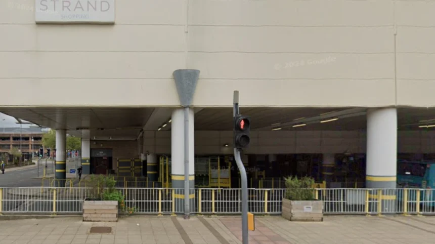
Bootle features an integrated public transport layout anchored by the Merseyrail Northern Line, an extensive municipal bus network centered around Bootle Bus Station, and key arterial pedestrian routes connecting commercial hubs to surrounding Merseyside neighborhoods.
Bootle is a major industrial and residential town located within the Metropolitan Borough of Sefton in Merseyside, England. Historically functioning as a dockland town on the east bank of the River Mersey, its spatial organization relies on high-density transit channels. The transport infrastructure is managed under the regional oversight of the Liverpool City Region Combined Authority and Merseytravel.
The urban footprint of Bootle relies on parallel transit corridors running north to south between Liverpool city center and Sefton. Rail routes, primary bus lanes, and public pathways run alongside major roads like the A565 Rimrose Road and the A5038 Stanley Road. These routes form the main pathways for daily suburban commuters and freight movements.
The central transport hubs, including Bootle Oriel Road and Bootle New Strand rail stations, sit near the Strand Shopping Centre and Bootle Bus Station. These facilities create multi-modal interchange nodes where passengers switch between heavy rail, localized bus routes, and pedestrian zones. This design ensures efficient connections for local workforces and region-wide travel.
How do rail services connect Bootle to the wider region?
Rail services connect Bootle to Merseyside through the Merseyrail Northern Line, providing direct high-frequency urban rail connections south into central Liverpool and north toward Southport, Ormskirk, and the regional heavy rail network.
Rail transport in Bootle began during the nineteenth-century expansion of the Lancashire and Yorkshire Railway. Built to support dock traffic and industrial workers, this line evolved into the electric Merseyrail network during the late twentieth century. Modern services use Class 777 electric multiple units, which replaced older rolling stock to offer higher speeds, regenerative braking, and level-boarding accessibility.
The town contains two main railway stations: Bootle Oriel Road and Bootle New Strand. A third station, Seaforth & Litherland, sits right on the northern boundary. Trains operate at fifteen-minute intervals during peak daytime hours, running south to Liverpool Central and Moorfields, or north to Southport. These direct connections allow passengers to cross the regional network without intermediate highway transfers.
Merseyrail serves as a high-frequency commuter rail system that functions like an underground Metro in central Liverpool. Transferring at Moorfields or Liverpool Central connects Bootle passengers to the Wirral Line for travel to Birkenhead and Chester, or to Liverpool Lime Street for national mainline services via Northern, TransPennine Express, and Avanti West Coast.
What bus routes serve Bootle Bus Station and local neighborhoods?
Bootle Bus Station serves as the principal bus interchange, offering extensive commercial and cross-suburban bus services operated primarily by Arriva North West and Stagecoach to connect local residential areas with wider Merseyside destinations.
Bootle Bus Station is situated adjacent to the Strand Shopping Centre on Washington Parade. The bus network uses high-density routes along Stanley Road and Hawthorne Road to carry passengers through local neighborhoods and out to surrounding regions. This system operates alongside the rail network to cover areas not directly served by train lines.
Key bus services include the Arriva 47, 52, 53, 54, and 55 routes, which run between Liverpool city center, Bootle, Crosby, and Southport. Orbital services, such as the 60, 61, and 68 routes, connect Bootle to eastern and southern Liverpool neighborhoods like Fazakerley, Old Swan, and Aigburth without requiring a detour through the city center.
Merseytravel coordinates these route schedules, regulates fares, and funds supported local bus services. The regional transport authority enforces standardized ticketing systems, including Saveaway day tickets and MyTicket options for youth passengers. These measures ensure affordable travel across different transport operators throughout the borough.
What are the main walking and cycling routes through Bootle?
Main walking and cycling routes in Bootle include dedicated paths along the Leeds and Liverpool Canal towpath, urban pedestrian zones along Stanley Road, and designated cycle corridors linking the town to the Liverpool Waters regeneration area.
Pedestrian traffic in Bootle moves along two distinct systems: functional urban footpaths and recreational heritage corridors. The historical layout of the town created dense residential neighborhoods located within walking distance of retail zones, administrative offices, and industrial docks. Modern transport planners continue to improve active travel corridors to reduce local automobile reliance.
The Leeds and Liverpool Canal towpath is a key traffic-free pedestrian and cycling route that runs directly through the center of Bootle. Maintained by the Canal & River Trust, this paved water-level path offers a flat, uninterrupted link north toward Maghull and south toward the Eldonian Village and Liverpool city center.
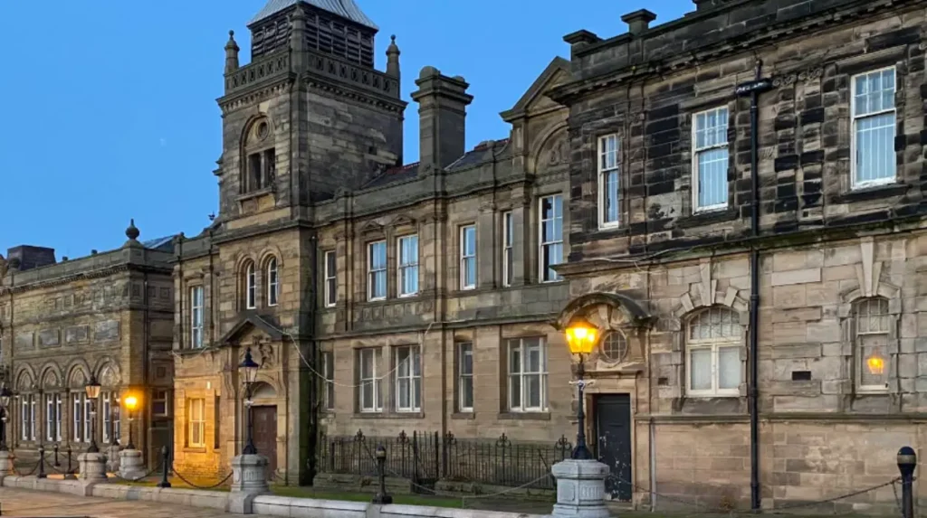
Urban footpaths center on the paved pedestrian portion of Stanley Road, which connects directly to Bootle Town Hall and local civic buildings. Active travel initiatives from Sefton Council continue to add protected bike lanes, upgraded pedestrian crossings, and improved lighting along major routes like Marsh Lane, Balliol Road, and Dunnings Bridge Road.
How do transport links impact Bootle economic regeneration?
Transport links support Bootle economic regeneration by enabling commuter access, connecting port activities to national supply chains, and driving urban redevelopment along major transit corridors near the Strand Shopping Centre and docklands.
The economic health of Bootle is tied directly to its physical and digital connectivity. Historic dockland developments made the town a major industrial and freight distribution point. Today, deep-water logistics at the Port of Liverpool rely on the highway network via the A5036 Dunnings Bridge Road, connecting maritime trade routes to the M57 and M58 motorways.
Public transit access directly influences property values, employment rates, and local business growth. Reliable fifteen-minute rail services allow Bootle residents to reach financial and educational centers in Liverpool within twelve minutes. This rapid transit access helps lower local unemployment by connecting residents to wider employment markets across Merseyside.
Sefton Council’s master plan for Bootle town center uses existing public transport hubs as anchors for urban renewal. Redevelopment plans for the Strand Shopping Centre focus on creating a multi-use canal-side venue that integrates bus terminals, rail access, and pedestrian walkways. This transit-oriented development model aims to attract private investment and revitalize the local service economy.
Frequently Asked Questions
What train line serves Bootle New Strand?
Bootle New Strand is served by the Merseyrail Northern Line, which runs frequent direct electric train services between Southport and Liverpool Central.
How long does a train ride take from Bootle to central Liverpool?
A direct train ride from Bootle Oriel Road or Bootle New Strand to Liverpool Central Station takes approximately twelve minutes on the Merseyrail network.
Where is the main bus station located in Bootle?
Bootle Bus Station is situated on Washington Parade, directly adjacent to the Strand Shopping Centre and near the Bootle New Strand rail station.
Can you walk along the canal from Bootle to Liverpool?
Yes, the Leeds and Liverpool Canal towpath provides a flat, traffic-free walking and cycling path that links central Bootle directly into Liverpool city center.
What regional transport authority manages travel options in Bootle?
Public transportation integration, ticketing systems, and infrastructure planning across Bootle are managed regionally by Merseytravel and the Liverpool City Region Combined Authority.