

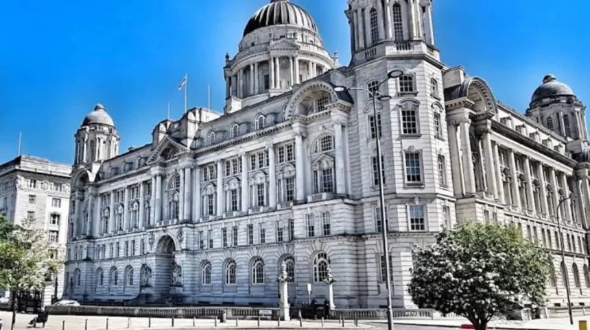
The Liverpool property market operates within a framework of 25 distinct geographic postal zones managed by the Royal Mail. These postal districts cover the metropolitan area of Liverpool and its surrounding boroughs within the Merseyside region. Discerning the optimal location requires a thorough evaluation of transport infrastructure, retail density, green space access, and local economic performance metrics. Property buyers prioritize these metrics differently based on whether they seek urban density or suburban residential amenities. Understanding the specific boundary lines and socioeconomic characteristics of each zone simplifies the property acquisition process for investors and homebuyers alike.
- What makes the L1 postcode attractive for urban lifestyle seekers?
- Why does the L3 postcode appeal to waterfront residential investors?
- How does the L17 postcode deliver the ideal suburban lifestyle balance?
- What features draw affluent property buyers to the L18 postcode?
- Why is the L22 postcode growing in popularity among young families?
- Frequently Asked Questions
- Which Liverpool postcode has the highest average property prices?
- Is it better to invest in L1 or L17 for rental yield?
- How long is the commute from the L22 coastal area to the city center?
- What are the primary green spaces available to residents living in L17?
- Are there any historic warehouse conversions available in the L3 postcode?
Historically, the distribution of wealth and infrastructure development in Liverpool followed the expansion of the maritime trade sector during the nineteenth century. Wealthier merchant classes established residential enclaves in the southern districts of the city to escape industrial pollution from the northern docks. This historical development pattern created long-standing variations in infrastructure quality, housing stock, and public park access across the different postal code zones. Modern urban regeneration projects continue to alter these spatial dynamics by introducing new commercial and residential developments to previously industrial areas. The current market presents a diverse array of residential options ranging from high-density waterfront apartments to historic suburban family estates.
Selecting a residential area involves evaluating the balance between transport accessibility and the density of local lifestyle amenities. The central districts provide immediate proximity to major employment hubs, commercial retail centres, and cultural institutions but present higher population densities. Suburban areas offer lower noise pollution, larger average property square footage, and proximity to high-performing educational facilities while requiring longer commute times. Local authorities monitor these development patterns through neighborhood master plans to ensure infrastructure keeps pace with population growth. A precise examination of individual postal districts reveals the specific lifestyle and convenience benefits available within each geographic market segment.
What makes the L1 postcode attractive for urban lifestyle seekers?
The L1 postcode provides immediate access to the central business district, major retail complexes, and comprehensive public transport links. Residents live within walking distance of the Liverpool ONE retail development, the historic Royal Albert Dock, and the central Lime Street railway station. This zone suits young professionals and students who prioritize zero-commute lifestyles and high density commercial entertainment options.
The geographic footprint of L1 encompasses the core commercial center of Liverpool and its primary cultural attractions. Property options in this district consist almost entirely of modern apartment complexes, converted warehouse spaces, and high-rise residential developments. The area benefits from substantial municipal investment in public realm improvements, pedestrianized streets, and security infrastructure to support the high footfall. Residents have access to three major supermarkets, dozens of independent grocery outlets, and hundreds of dining establishments within a fifteen-minute walking radius. Transport connectivity is a primary feature, with direct rail links to London, Manchester, and Birmingham available from nearby stations.
The local residential market in L1 experiences consistent demand due to the concentration of corporate employers and educational institutions. The university campuses of Liverpool John Moores University and the University of Liverpool sit immediately adjacent to this zone, driving a robust rental market. The presence of major developments like the Liverpool Pall Mall project demonstrates the ongoing commercial expansion occurring on the edges of the central district. Living in L1 eliminates the requirement for private vehicle ownership due to the density of car-sharing networks and dedicated cycle lanes. The area appeals strongly to individuals seeking a fast-paced environment where employment, retail, and leisure facilities share the same spatial footprint.
Why does the L3 postcode appeal to waterfront residential investors?
The L3 postcode offers premium waterfront residential properties combined with proximity to the central commercial district and major creative hubs. This zone contains the Waterloo Dock, Princes Dock, and the rapidly developing Ten Streets creative district located just north of the city center. Investors choose L3 for its strong capital appreciation potential driven by multi-billion pound dockland regeneration initiatives.
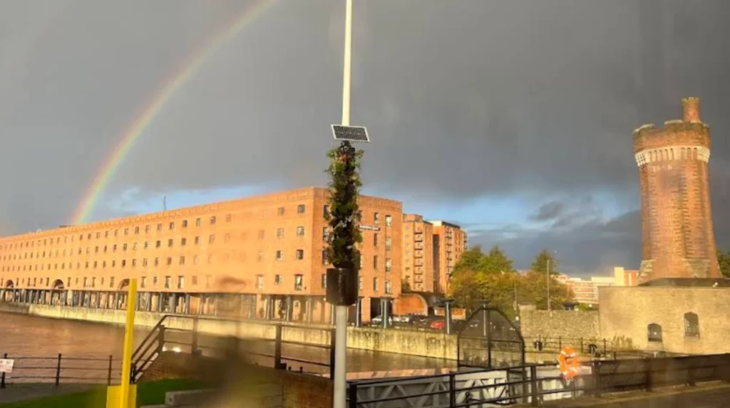
The L3 district extends from the edge of the commercial core along the northern waterfront of the River Mersey. This geographic positioning allows developers to construct high-specification residential towers that offer panoramic river views and modern architectural designs. The area attracts a demographic of corporate professionals, digital sector workers, and affluent international students who demand premium building amenities. Many residential blocks in L3 incorporate twenty-four-hour concierge services, private gymnasium facilities, secure underground parking, and communal rooftop gardens. The district benefits from its physical separation from the busiest retail streets, providing a quieter residential environment while retaining quick city center access.
Infrastructure expansion remains a key driver of property value and residential desirability within the L3 postal zone. The ongoing expansion of commercial infrastructure attracts global firms and sports advisory consultancies to establish offices along the waterfront. The proximity to the Knowledge Quarter brings a steady stream of medical and technological professionals seeking high-quality accommodation near their laboratories. Transport links include the Moorfields underground station and easy access to the A5036 dual carriageway connecting to the national motorway network. The combination of modern housing stock, river views, and proximity to major employment nodes maintains L3 as a premier investment destination.
How does the L17 postcode deliver the ideal suburban lifestyle balance?
The L17 postcode delivers a balanced suburban lifestyle through its combination of historic green spaces, independent retail districts, and Edwardian housing. The zone contains Lark Lane, Sefton Park, and the Aigburth road corridor, creating a distinct community atmosphere popular with families. Residents benefit from rapid commuter rail connections to the city center alongside extensive outdoor recreational facilities.
The structural layout of L17 revolves around Sefton Park, a two-hundred-and-thirty-five-acre Grade one listed public park featuring a historic Victorian palm house. The surrounding residential streets feature large Victorian and Edwardian villas, many of which retain original architectural features or have undergone conversion into spacious apartments. Lark Lane acts as the commercial heart of the postcode, hosting an array of independent cafes, artisan bakeries, and boutique retail shops. This commercial ecosystem supports a high degree of local economic resilience and appeals to residents who prefer supporting independent businesses. The neighborhood attracts a diverse population of university academics, medical professionals, growing families, and long-term retired residents.
Convenience in L17 is supported by excellent transport links and high-performing local educational institutions. The St Michaels and Aigburth railway stations provide regular train services that reach the city center in under ten minutes. Multiple bus routes traverse Aigburth Road, offering frequent services across the wider metropolitan area for daily commuters. The postcode falls within the catchment areas of several schools rated outstanding by the Office for Standards in Education. The abundance of tree-lined streets, low traffic neighborhoods, and active community groups creates a stable residential environment with low property turnover rates.
What features draw affluent property buyers to the L18 postcode?
The L18 postcode attracts affluent buyers due to its exceptional school catchment areas, expansive parklands, and premium property options. This district features Allerton Road, Calderstones Park, and the exclusive residential tree-lined avenues of the historic Allerton and Mossley Hill suburbs. Buyers choose L18 for its long-term property value stability and family-oriented community infrastructure.
The housing market in L18 consists primarily of substantial detached and semi-detached family homes built during the interwar period. These properties feature large private gardens, multi-car driveways, and quiet residential layouts that contrast sharply with urban housing options. Calderstones Park provides ninety-four acres of green space, including botanical gardens, children’s play areas, and historical monuments like the ancient Calder Stones. Allerton Road serves as the primary retail high street, offering high-end butchers, fishmongers, clothing boutiques, and professional services firms. The demographic profile consists largely of established corporate executives, senior legal professionals, medical consultants, and wealthy families.
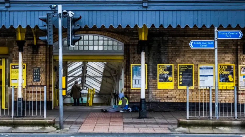
The primary driver for families moving into L18 is the concentration of elite primary and secondary educational institutions. The local schools consistently achieve top rankings in national performance tables, creating intense competition for residential properties within their catchment zones. Transport convenience is maintained via the Mossley Hill railway station and the nearby Liverpool South Parkway transport interchange hub. The distance to the city center is approximately four miles, allowing for a manageable commute via public transport or private vehicle. The low crime rates, high average household incomes, and pristine public spaces preserve L18 as one of the most prestigious addresses.
Why is the L22 postcode growing in popularity among young families?
The L22 postcode experiences growth in popularity due to its coastal location, affordable housing options, and strong community identity. Centered on the suburb of Waterloo, this zone offers direct access to Crosby Beach, Waterloo Marina, and the South Road retail street. The area provides a seaside lifestyle at a lower cost per square foot than traditional south Liverpool suburbs.
The residential landscape of L22 features a high density of traditional brick terraced houses and semi-detached properties from the late nineteenth century. These homes attract first-time buyers and young families who require multiple bedrooms and private yards without the premium prices of L18. Crosby Beach sits on the western boundary, hosting the famous permanent art installation by Antony Gormley featuring one hundred cast-iron figures. South Road provides a bustling commercial corridor filled with traditional pubs, international restaurants, independent grocers, and essential healthcare facilities. The community benefits from active volunteer networks that organize regular beach cleanups, youth groups, and neighborhood arts festivals.
Transport infrastructure in L22 provides exceptional convenience for professionals commuting into the commercial center of Liverpool. The Waterloo railway station sits on the Merseyrail Northern Line, delivering direct trains to the city center every fifteen minutes. The journey time to Moorfields station takes approximately twelve minutes, making it highly efficient for daily office workers. The area contains several public parks, including the marine lake gardens which offer water sports facilities and walking paths. The combination of coastal proximity, rapid rail transport, and attainable property pricing positions L22 as a rising star in the local market.
Frequently Asked Questions
Which Liverpool postcode has the highest average property prices?
The L18 postcode consistently records the highest average property prices in the metropolitan area. This high valuation is driven by the density of large detached Edwardian houses, proximity to Calderstones Park, and outstanding local schools. Buyers pay a premium to secure properties within the strict school catchment boundaries of Mossley Hill and Allerton.
Is it better to invest in L1 or L17 for rental yield?
The L1 postcode generally delivers higher gross rental yields due to the high density of students and corporate professionals seeking short-term accommodation. The L17 postcode offers lower initial yields but provides superior long-term capital appreciation and lower tenant turnover rates. Investors seeking immediate cash flow favor the city center, while those seeking stability choose the southern suburbs.
How long is the commute from the L22 coastal area to the city center?
The train journey from Waterloo station in L22 to Liverpool city center takes approximately twelve minutes. Trains run every fifteen minutes on the Merseyrail Northern Line, providing highly reliable access for daily employment. This rapid transit link makes the coastal suburb exceptionally convenient for workers who want to avoid city center traffic congestion.
What are the primary green spaces available to residents living in L17?
Residents in the L17 postal district have immediate access to Sefton Park, which spans two hundred and thirty-five acres of protected parkland. The park features a boating lake, historical monuments, and organized community sports fields. The adjacent Princes Park provides additional walking paths and recreational zones for the local neighborhood.
Are there any historic warehouse conversions available in the L3 postcode?
The L3 postcode contains numerous historic Victorian warehouse conversions situated alongside modern residential apartment blocks. These properties feature exposed brickwork, cast-iron columns, and large windows reflecting the maritime industrial heritage of the Waterloo and Princes Docks. These unique structural features command high demand from buyers seeking architectural character.