

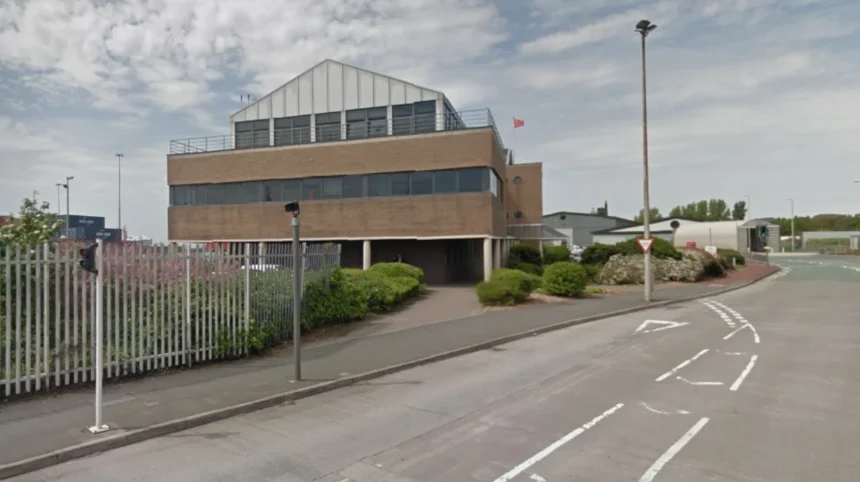
Bootle originated as a rural hamlet recorded under the name Boltelai in the Domesday Book of 1086. The name derives from the Anglo-Saxon word bold or botle, meaning a dwelling or house. Located near the mouth of the River Mersey, the settlement remained a small coastal village occupied by farmers and fishermen for centuries. During the early nineteenth century, affluent merchants from nearby Liverpool built large holiday villas along the coast, turning the area into a fashionable seaside bathing resort. The resident population numbered approximately 610 people in 1801 before industrial infrastructure fundamentally altered the coastline.
- Why Did Dock Construction Drive Rapid Industrial and Population Expansion?
- What Impact Did the Second World War Have on Urban Infrastructure?
- How Did Containerization Cause Mid-Twentieth-Century Economic Decline?
- Which Modern Regeneration Initiatives Are Reshaping the Urban Landscape?
- Frequently Asked Questions
The shift away from a quiet bathing resort occurred with the construction of the Leeds and Liverpool Canal and regional transport networks. Land development accelerated in the 1840s following the arrival of the Liverpool, Crosby and Southport Railway. Wealthy landowners sold coastal plots to make way for transportation links and municipal infrastructure. The expanding regional economy required industrial land closer to the deepwater channels of the Mersey. As a result, the beach landscape vanished under new civil engineering projects designed to facilitate trade.
By the mid-nineteenth century, Bootle had transitioned from a rural vacation retreat into an urbanizing industrial borough. The Municipal Corporations Act of 1835 later set the foundation for its incorporation as a borough in 1868. Local authorities built wide avenues such as Balliol Road and Merton Road to connect housing districts with transportation corridors. Town planners established formal civic boundaries, ending the status of Bootle as a simple satellite village of Liverpool. This initial urban transformation created the geographical framework needed to support heavy industrial operations.
Why Did Dock Construction Drive Rapid Industrial and Population Expansion?
Dock construction drove rapid expansion because maritime trade required extensive freight storage and direct deepwater shipping access. The Mersey Docks and Harbour Board built major facilities in north Bootle, including Canada Dock in 1859 and Brocklebank Dock in 1862. These infrastructure investments allowed the port to handle heavy timber, coal, and bulk agricultural imports. Warehouses, timber yards, and tanneries rapidly filled the land adjacent to the new dock walls. Industrial operations required thousands of physical laborers to unload ships and manage cargo yards every day.
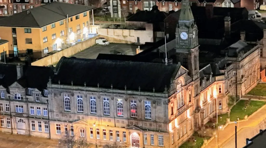
The boom in maritime trade triggered high levels of population growth throughout the late nineteenth century. Thousands of Irish immigrants migrated to the area to secure employment on the quaysides and freight rail networks. The population expanded from under 5,000 residents in 1851 to over 50,000 residents by 1891. Developers constructed dense grids of red-brick terraced housing to accommodate dockworkers and their families. Municipal leaders used local tax revenue from maritime commerce to build grand public facilities, including Bootle Town Hall in 1882.
Industrial expansion continued as engineers added Alexandra Dock in 1881 and Langton Dock in 1881. These additions enabled the port to handle the largest ocean liners and cargo steamships of the Victorian era. Freight lines, including the Lancashire and Yorkshire Railway, connected every dock terminal directly to national manufacturing centers. The Liverpool Overhead Railway opened its northern terminus at Seaforth Sands in 1894 to transport dockworkers along the waterfront. By 1900, Bootle operated as a major global shipping hub independent of Liverpool’s internal municipal administration.
What Impact Did the Second World War Have on Urban Infrastructure?
The Second World War destroyed much of the physical infrastructure because enemy forces targeted the strategic shipping docks. Axis bombers struck the area heavily during the Blitz of May 1941 to disrupt transatlantic supply convoys. Due to its high density of dockyards and rail yards, Bootle became one of the most heavily bombed municipal boroughs in the United Kingdom. Aerial attacks destroyed over 80 percent of the local housing stock and severely damaged dock basins. Key public buildings, commercial strips, and transport depots sustained direct hits during successive night raids.
The human and physical toll of the bombing forced immediate emergency intervention from regional and national civil defence organizations. Thousands of residents were rendered homeless overnight and required temporary shelter in surrounding rural areas. Municipal services struggled to maintain basic clean water, gas, and sanitation networks due to cratered streets and ruptured mains. Industrial output at the docks dropped temporarily while workers cleared debris and repaired rail sidings. Despite the destruction, emergency crews kept critical shipping berths operational throughout the remainder of the war.
Post-war recovery required comprehensive urban clearance and modern town planning initiatives during the late 1940s and 1950s. Local authorities demolished ruined terraced streets rather than restoring Victorian housing patterns. Government planners constructed low-density social housing estates in outlying areas like Netherton to rehouse displaced families. Rebuilding efforts modernized road layouts but permanently altered the historic neighborhood character. Wartime devastation left structural scars that influenced economic planning and civic development for decades following the conflict.
How Did Containerization Cause Mid-Twentieth-Century Economic Decline?
Containerization caused economic decline by replacing manual cargo handling with automated, standardized shipping containers. During the 1960s and 1970s, global shipping lines adopted intermodal freight containers measuring twenty feet and forty feet in length. Traditional Victorian docks lacked the deep water and vast land space needed for large container ships and gantry cranes. Port operations shifted north to the purpose-built Royal Seaforth Dock, which opened in 1972. Older dock basins became obsolete, leading to terminal closures along the central and southern waterfront.
The shift toward modern automated shipping systems eliminated tens of thousands of traditional maritime jobs. Unskilled dockworkers, stevedores, and warehousemen faced sudden structural unemployment as manual labor requirements plummeted. Auxiliary industries, including ropeworks, ship repair yards, foundries, and local logistics firms, closed down. Local retail trade suffered as household incomes dropped sharply across the borough. By the late 1970s, unemployment rates in central Bootle reached levels well above the national average.
Economic stagnation led to physical urban decay across industrial zones and commercial corridors. Empty warehouses and disused rail sidings became prominent features of the local landscape. Disinvestment affected local infrastructure, causing shop closures along main thoroughfares like Stanley Road. High unemployment forced younger workers to migrate to other regions in search of manufacturing or service jobs. The combination of technological obsolescence and industrial loss left the municipality in urgent need of public economic intervention.
Which Modern Regeneration Initiatives Are Reshaping the Urban Landscape?

Modern regeneration initiatives are reshaping the landscape by replacing disused industrial land with commercial, residential, and green infrastructure. Public investment frameworks began with the establishment of the Merseyside Development Corporation in 1981 to reclaim derelict docklands. Local governance transitioned to Sefton Council under the Local Government Act 1972, bringing regional funding strategies. Strategic planning now focuses on transforming former retail centers, such as the Strand Shopping Centre, into multi-use community hubs. Council initiatives combine public funds with private investment to modernize transportation access and public parks.
| Regeneration Project | Funding Source / Managing Body | Core Objective | Primary Target Completion |
| Bootle Canalside | Sefton Council / LCR Combined Authority | Mixed-use leisure and event space | Phase 1 active |
| Strand Shopping Centre Reconfiguration | Sefton Council / UK Capital Regeneration | Town centre diversification | Ongoing phased delivery |
| Royal Seaforth Expansion | Peel Ports Group | Deepwater container handling expansion | Operational / Continuous |
Public authorities are executing targeted development schemes along the historic Leeds and Liverpool Canal. The Bootle Canalside project transformed vacant land into an open-air venue for food, culture, and community gathering. Waterfront improvements focus on creating pedestrian pathways and sustainable urban drainage to improve quality of life. Environmental projects focus on restoring green corridors around North Park and South Park. Private developers are repurposing historic office blocks into affordable housing units for local workers.
Economic diversification efforts aim to lessen the historic dependency on low-skilled physical labor. Local government agencies encourage new service-sector businesses, digital enterprises, and civil service administration offices to locate downtown. Educational investments provide training opportunities geared toward modern logistics, green tech, and healthcare sectors. Transport networks, including rail stations at Bootle New Strand and Bootle Oriel Road, offer swift connections across Merseyside. These regeneration efforts aim to create a sustainable local economy while preserving key heritage assets.
Frequently Asked Questions
What is the origin of the name Bootle?
The name Bootle comes from the Anglo-Saxon word bold or botle, which translates to a dwelling or house. It was recorded as Boltelai in the Domesday Book of 1086 when it was a small hamlet. The name evolved through various historical spellings before settling on its modern form.
Why was Bootle heavily targeted during the Second World War?
Bootle was heavily targeted because its extensive docks and freight rail depots served as a primary shipping point for war supplies. Axis forces bombed the area during the 1941 Blitz to disrupt transatlantic trade lines. This attack resulted in widespread destruction of local housing and municipal infrastructure.
How did the Leeds and Liverpool Canal impact local growth?
The Leeds and Liverpool Canal provided an efficient inland route for heavy raw materials like coal and industrial goods. It connected local industrial operations directly to interior manufacturing towns across Yorkshire and Lancashire. This transport connection stimulated early urban development well before major rail networks were built.
Is Bootle an independent town or part of Liverpool?
Bootle is a distinct town within the Metropolitan Borough of Sefton in Merseyside. Historically, it gained status as an independent county borough in 1889 and resisted absorption by Liverpool City Council. Today, it remains politically separate from Liverpool while sharing close regional transport links.
What main regeneration projects are currently active in the area?
Current regeneration projects include the multi-phase redevelopment of the Strand Shopping Centre and the Bootle Canalside venue initiative. Local councils are focused on introducing mixed-use community spaces, new housing units, and improved pedestrian access.

