

Key Points
- Hurricane Genevieve reached Category 5强度 early Monday, July 27, 2026, becoming the first Category 5 hurricane in the Eastern Pacific since 2024.
- Maximum sustained winds peaked at 160 mph (260 kph), according to the National Hurricane Center in Miami.
- The storm is located about 530 miles (855 km) southwest of Manzanillo, Mexico, moving northwest at 13 mph (20 kph).
- Genevieve is not expected to make landfall but will bring life-threatening surf and rip currents to Mexico’s southwestern coast and Baja California.
- This marks the first major hurricane (Category 3 or stronger) in either the Eastern Pacific or Atlantic basins in 2026.
- The storm is forecast to weaken from Tuesday and disintegrate into a tropical storm by July 30.
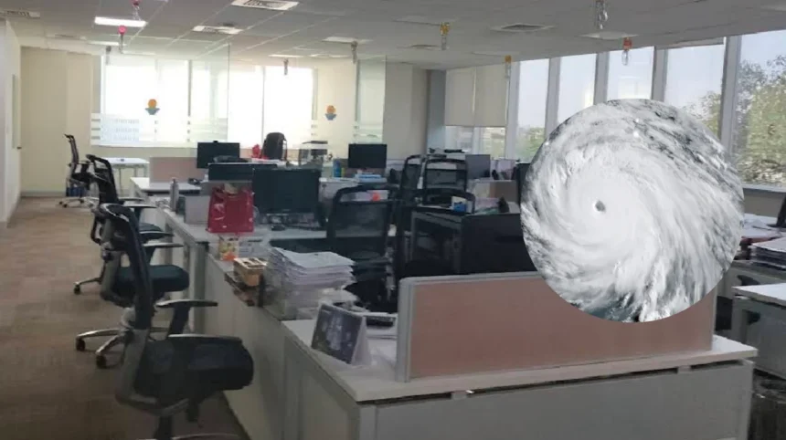
UK (Liverpool standard) July 27, 2026 – Hurricane Genevieve has become the first Category 5 hurricane in the Eastern Pacific basin since Hurricane Kristy in 2024, marking a significant milestone for the 2026 hurricane season. The storm rapidly intensified over the weekend, with maximum sustained winds reaching 160 mph (260 kph) by early Monday morning, according to the National Hurricane Center in Miami.
- Key Points
- How Did Genevieve Rapidly Intensify to Category 5?
- What Are the Current Conditions and Forecast for Genevieve?
- Why Is Genevieve the First Major Hurricane of 2026?
- What Impacts Are Expected from Hurricane Genevieve?
- Background of the 2026 Pacific Hurricane Season Development
- Prediction: How This Development Can Affect Coastal Communities and Climate Monitoring
As reported by the Associated Press, Genevieve’s center was located approximately 530 miles (855 kilometers) southwest of Manzanillo, Mexico, moving northwest at 13 mph (20 kph). The storm is expected to stay far out to sea on a course roughly parallel with the Mexico coast, posing no direct threat to land.
How Did Genevieve Rapidly Intensify to Category 5?
Hurricane Genevieve’s rapid intensification began on Saturday night when it was named, with wind speeds increasing from 80 mph on Saturday at 8 p.m. MST to 160 mph by Monday morning at 2 a.m. MST. The storm became a hurricane on Saturday night and quickly strengthened into a Category 4 hurricane with maximum sustained winds of 155 mph by Sunday.accuweather+2
According to AccuWeather’s Lead Hurricane Expert Alex DaSilva, “While eastern Pacific Major Hurricane Genevieve poses no direct threat to land, it has become the most powerful hurricane in the waters surrounding North and Central America this year and the first Category 5 hurricane since Kristy in 2024.” The FOX Forecast Center noted that favorable atmospheric conditions allowed Genevieve to rapidly strengthen, creating the potential for Category 5 status.
What Are the Current Conditions and Forecast for Genevieve?
The National Hurricane Center reported that no coastal watches or warnings were in effect for Genevieve, but the agency warned that swells from the storm were likely causing “life-threatening surf and rip current conditions” affecting parts of Mexico’s southwestern coast and the Baja California Peninsula. These dangerous conditions were expected to spread northward through the day.
Forecasters predict the storm will begin weakening from Tuesday, though it is expected to maintain major hurricane status (Category 3 or stronger) through much of Tuesday and at least tropical storm intensity through the week. Reuters reported that Genevieve is forecast to be a short-lived storm, disintegrating into a tropical storm by July 30.
Why Is Genevieve the First Major Hurricane of 2026?
Hurricane Genevieve is not only the first Category 5 hurricane in the Eastern Pacific since 2024, but it is also the Northern Hemisphere’s first major hurricane of the 2026 season across both the Atlantic and Eastern Pacific basins. A major hurricane is defined as a Category 3, 4, or 5 storm on the Saffir-Simpson Hurricane Wind Scale, with sustained winds of at least 111 mph.
As noted by Newsweek, this milestone arrival marks the first high-end storm of the 2026 season in either major North American basin, with the Atlantic currently quiet and no other tropical cyclones under active monitoring by the NHC. Weather.com reported that Genevieve became the first Category 5 hurricane in the Eastern Pacific basin since 2024 after a period of rapid intensification.
What Impacts Are Expected from Hurricane Genevieve?
While Genevieve is not expected to make direct landfall, the storm’s impacts will still be felt along the Mexican coast. The Boston Globe reported that large swells, potentially life-threatening surf, and dangerous rip currents are impacting the southwestern coast of Mexico and southern portions of the Baja California Peninsula.
The New York Post noted that Genevieve rapidly intensified into the first Category 5 hurricane in the Eastern Pacific since 2024, becoming the strongest storm in the East Pacific in two years. Sowetan reported that while Genevieve became a Category 5 hurricane early Monday, it stays away from US land, though coastal impacts remain a concern.
Background of the 2026 Pacific Hurricane Season Development
The 2026 Pacific hurricane season has seen increased activity with Hurricane Genevieve and Hurricane Fausto simultaneously active in the region. As Hurricane Fausto passes north of Hawaii with fringe impacts, Genevieve has become the dominant storm in the Eastern Pacific. The eastern and central Pacific has become very active with these two major systems, with Genevieve churning off the coast of Mexico and Fausto tracking toward Hawaii.
According to Yale Climate Connections, Genevieve is feasting on near-record oceanic warmth, which has contributed to its rapid intensification. The storm’s development reflects broader patterns of increased hurricane activity in the Pacific basin, with 2026 marking the first time since 2024 that a Category 5 hurricane has formed in the Eastern Pacific.
Prediction: How This Development Can Affect Coastal Communities and Climate Monitoring
The emergence of Hurricane Genevieve as the first Category 5 hurricane of 2026 has significant implications for coastal communities and climate monitoring efforts. While the storm itself poses no direct landfall threat, its rapid intensification and strength serve as a warning for future storm development in the region.
Coastal communities along Mexico’s southwestern coast and the Baja California Peninsula should remain vigilant for life-threatening surf and rip current conditions, even when hurricanes remain offshore. The National Hurricane Center’s warnings about dangerous marine conditions highlight the extended reach of hurricane impacts beyond direct landfall scenarios.
For climate scientists and meteorologists, Genevieve’s development on near-record oceanic warmth provides valuable data for understanding hurricane intensification patterns in warming ocean conditions. As Alex DaSilva noted, this represents the most powerful hurricane in the waters surrounding North and Central America this year, setting a benchmark for the 2026 season.
The storm’s trajectory and intensity may influence preparedness strategies for future Pacific hurricanes, particularly as the season progresses. With Genevieve expected to weaken by Tuesday but maintain tropical storm intensity through the week, meteorologists will continue monitoring its evolution to improve forecasting models for similar rapid intensification events.